3D Terrain Modeling
 Summary: Very cool 3D results from a recent terrain modeling flight
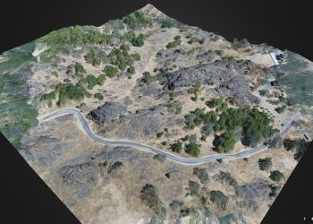
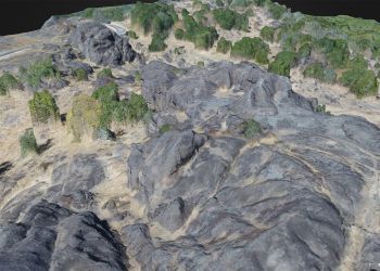
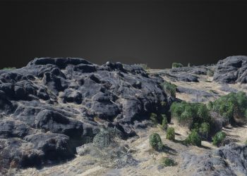
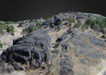
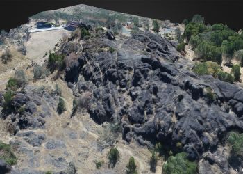
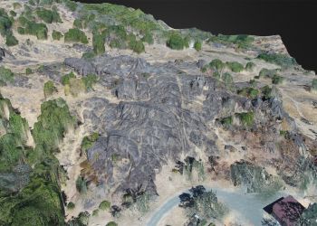
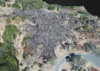
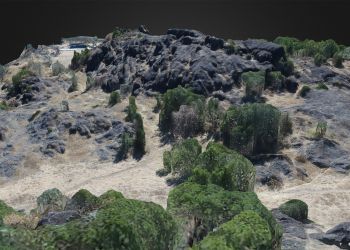
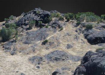
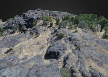
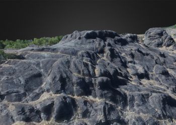
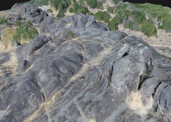
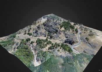
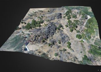
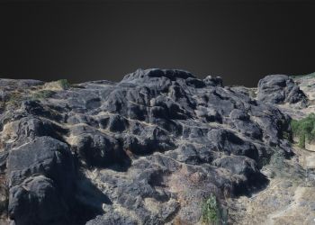
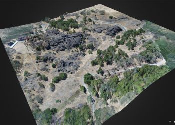
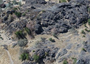
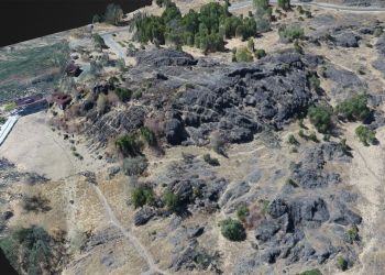
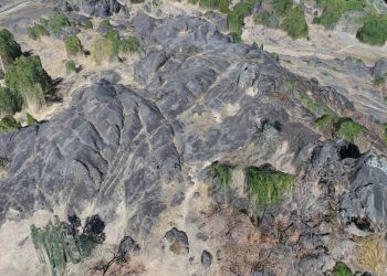
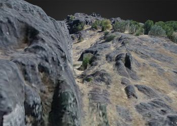
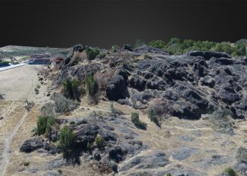
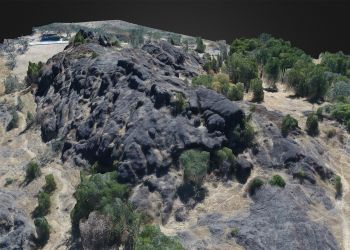
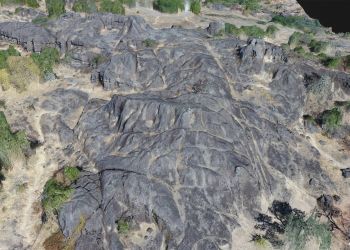
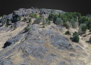
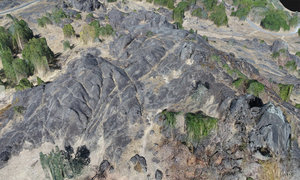
Screenshots of the Virtual 3D model created using 208 aerial images of the terrain. The images were then uploaded to DroneDeploy and stitched together into a virtual 3D model which can be manipulated in 3 dimensional space in real time. It's possible to zoom, pan, tilt and rotate the image in any direction or from any angle. While the imagery is not photo realistic, it is a very good representation of the property and provides the viewer with a means to look at the property using perspectives that would be virtually impossible with 2 dimensional photographic images only.
One of the key things to keep in mind as you view this gallery is that all of these images were taken from a drone flying at 200' above the property, yet you are able to view the property in 3D as if you were physically standing on the ground. Remarkable.
One of the key things to keep in mind as you view this gallery is that all of these images were taken from a drone flying at 200' above the property, yet you are able to view the property in 3D as if you were physically standing on the ground. Remarkable.

