Mountain Vineyard Spring
 Summary: Mountain Vineyard Spring
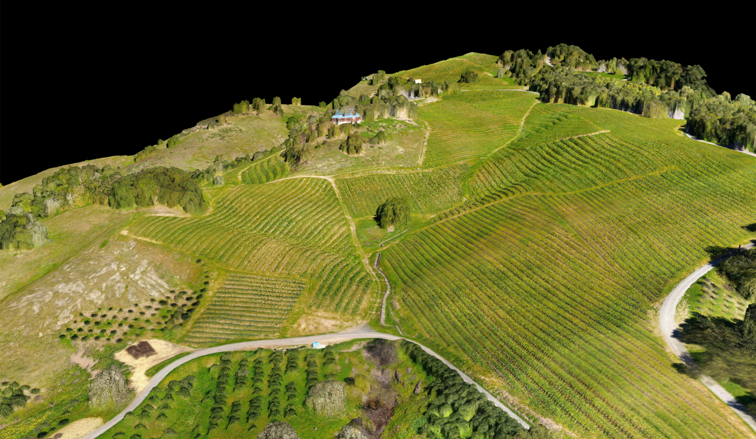
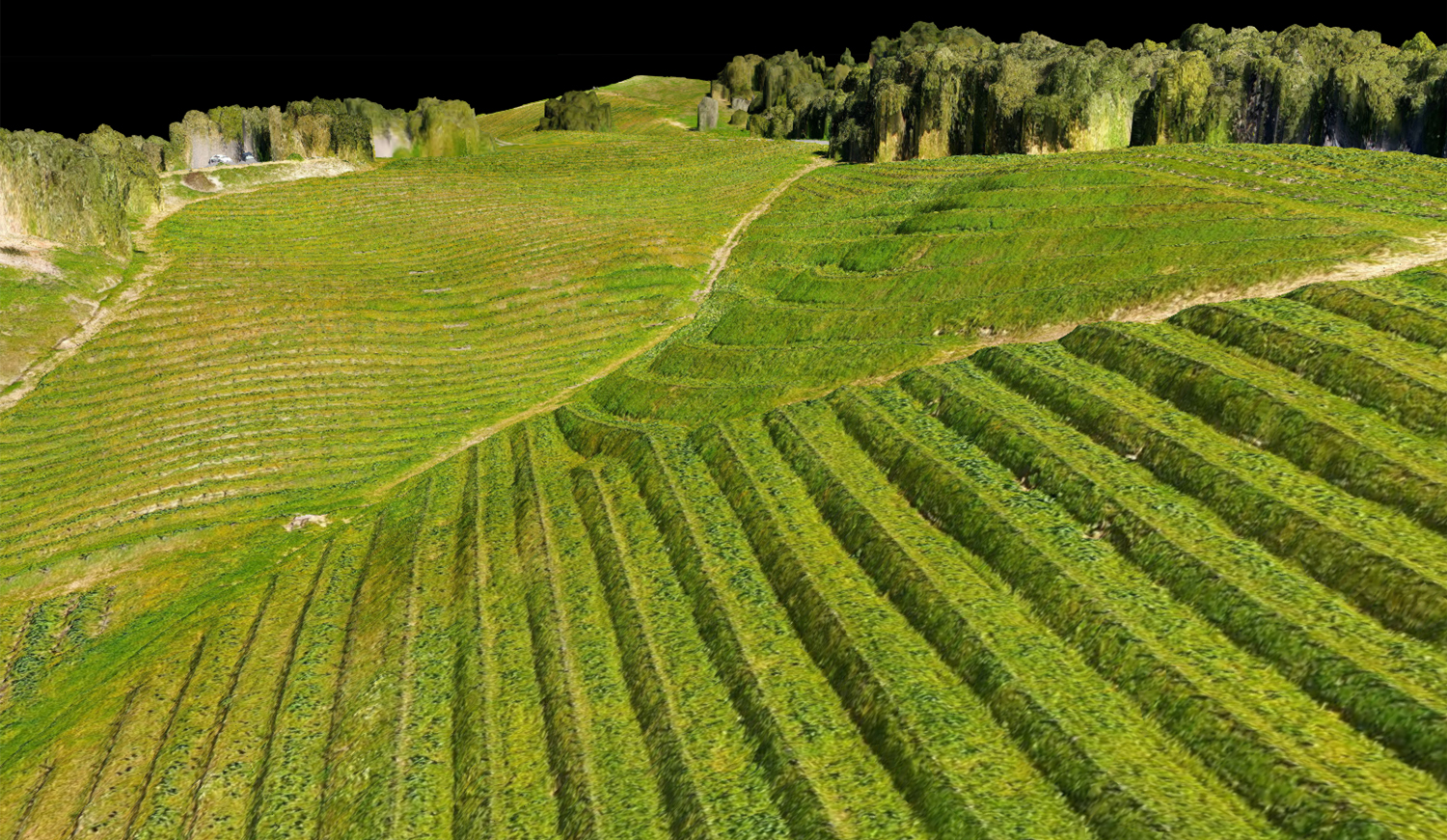
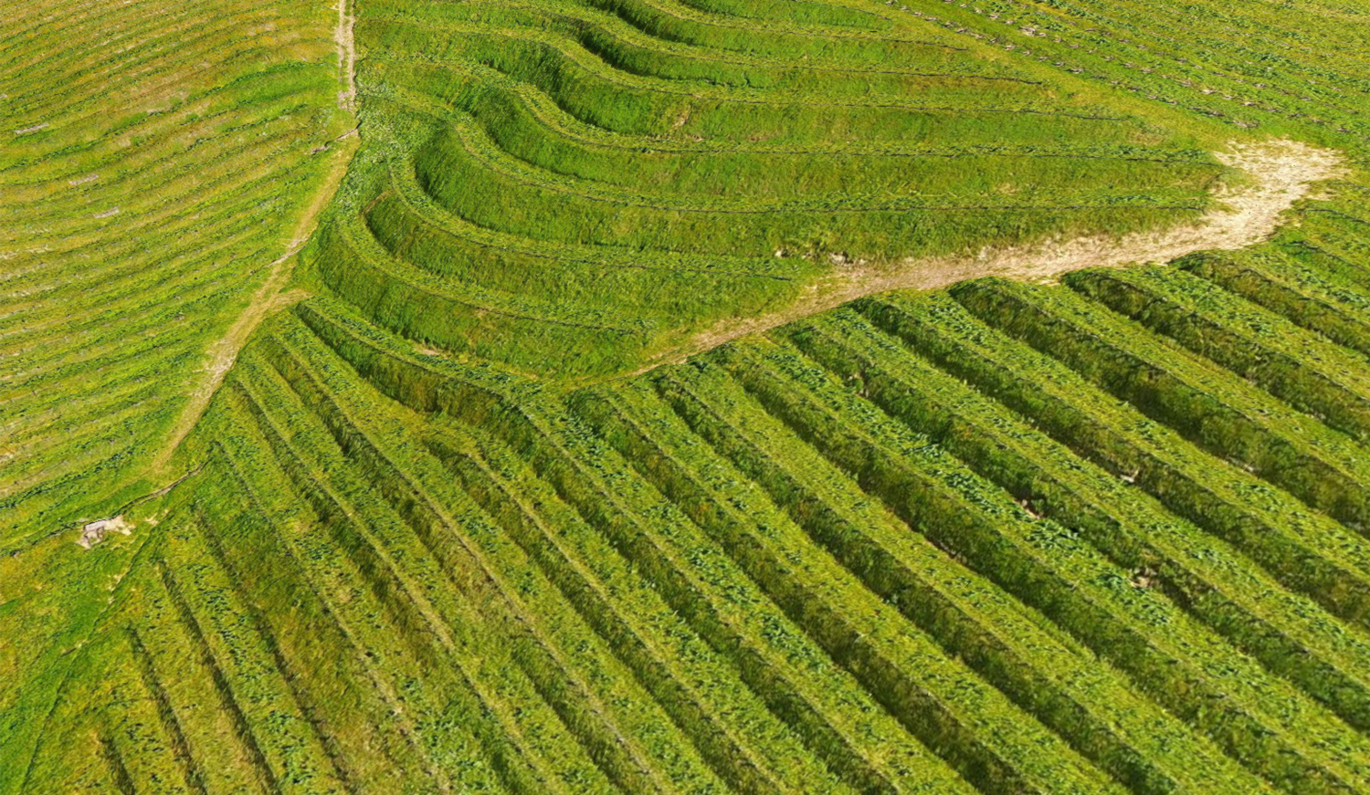
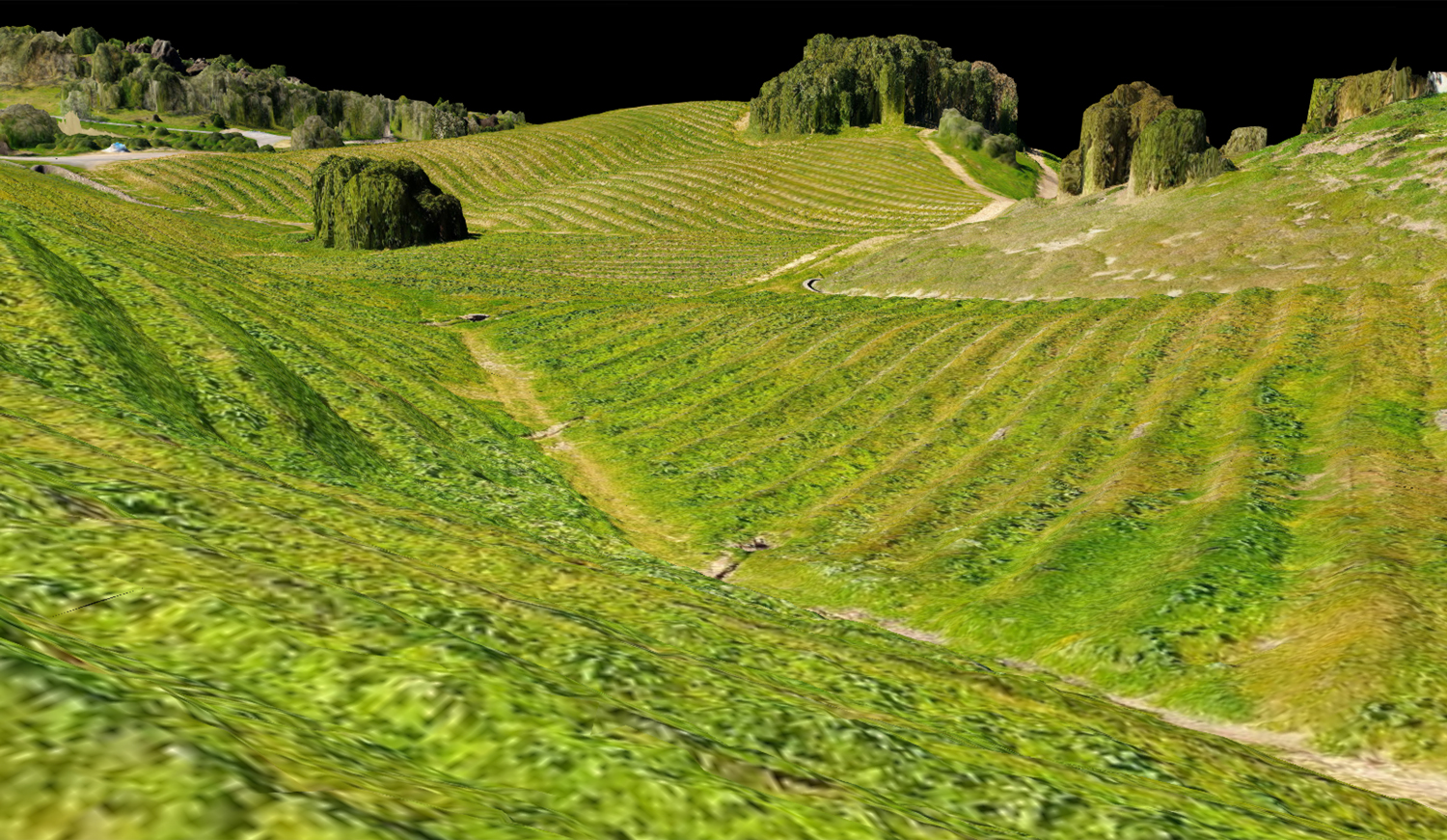
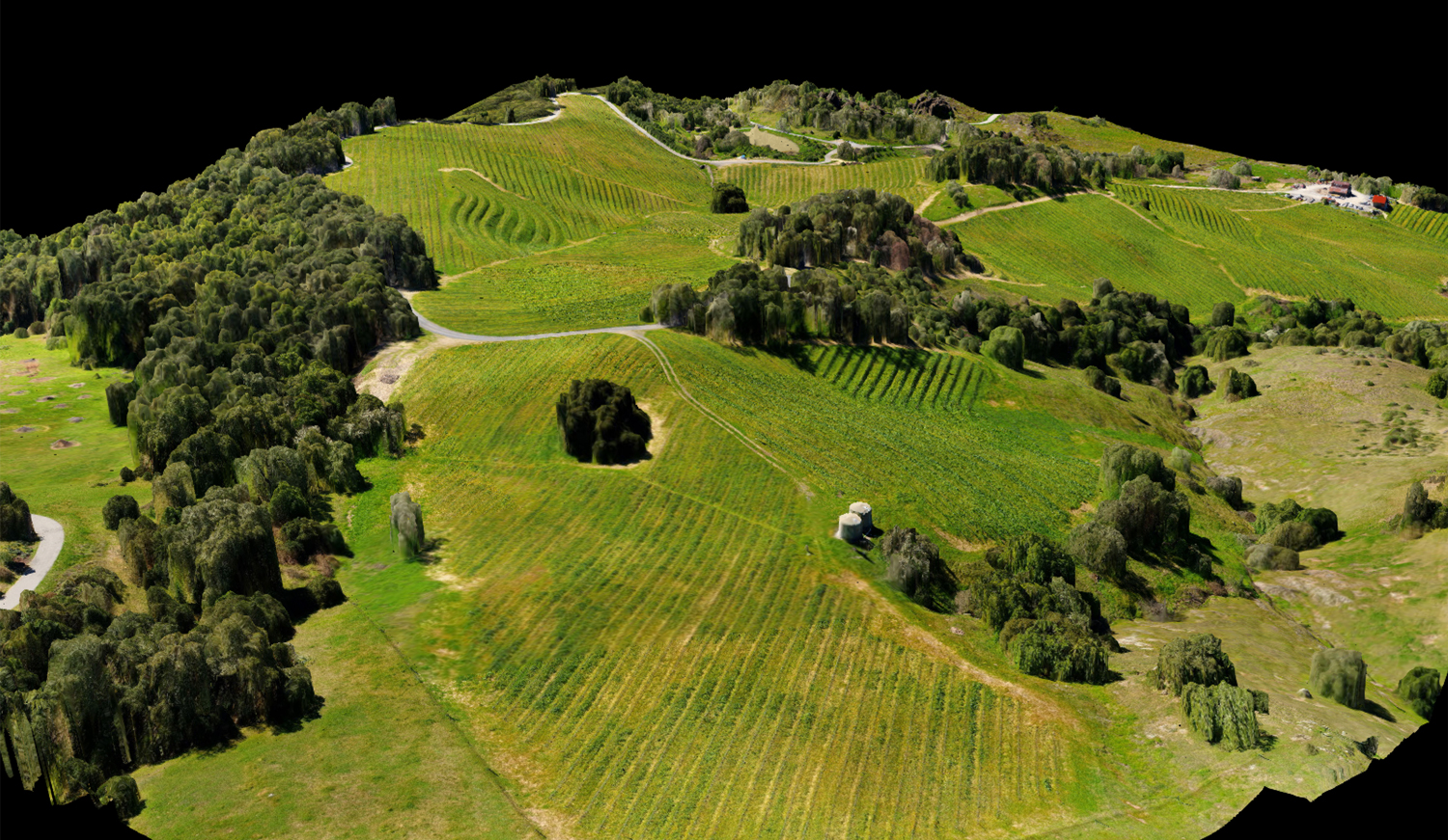
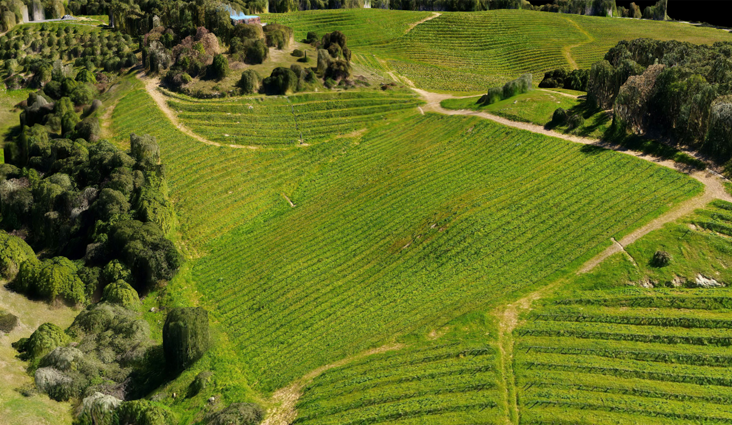
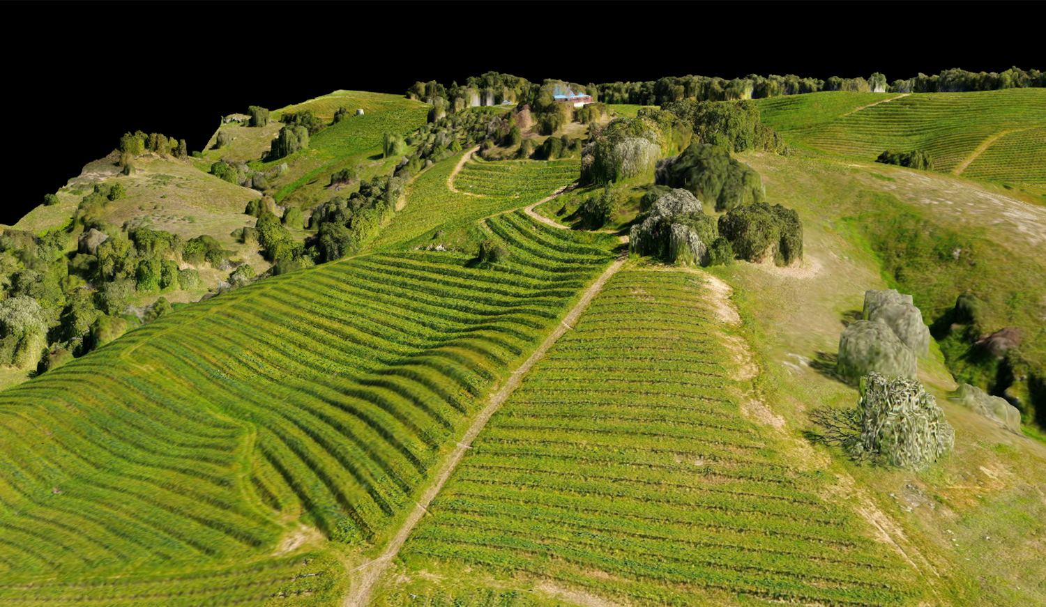
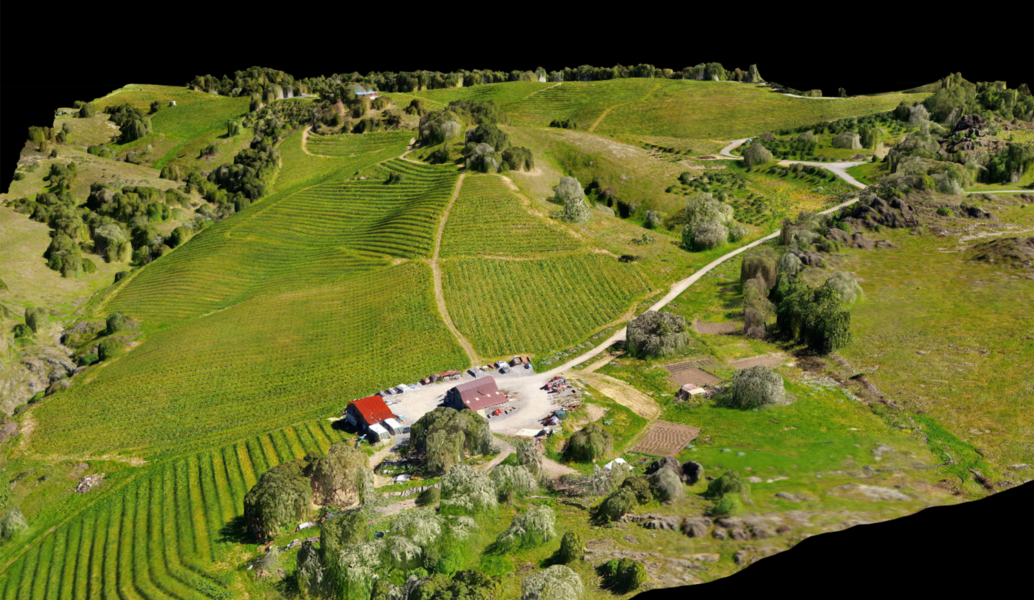
I had the opportunity to scan this property 14 times in 8 months. The primary focus of these scans was in capturing accurate agriculture imaging over time. The property in its entirety is aprox 300 acres and on 2 occasions the entire property was imaged. This sample, as with several others, represents aprox 70 acres of vineyard. There is a 500 foot elevation differential between the the lowest point & the highest point in the vineyard, and there can be more than a 200 foot elevation differential within a single vineyard block, so the vineyard was flown in 12 sections based on a number of factors, including size, elevation and launch point access. While we had enough experience by this point to know that the theory behind consistent relative elevation was providing good plant imaging, the unexpected result was also some really nice 3D terrain imaging. Select an image below to view, or Click Here to manipulate the 3D model